


Civil 3D Training in Hyderabad: Complete Guide for Road and Pipe Network Design
Looking for expert-led Civil 3D training in Hyderabad? Whether you’re aiming to enhance your command over corridor modeling or streamline complex pipe network designs, this comprehensive guide outlines exactly what you need to know. In under 10 minutes, you’ll understand how Civil 3D applies to real-world civil infrastructure workflows — from feature line grading to road intersection modeling — and why Hyderabad is a leading destination to sharpen your expertise.
What Is Civil 3D and Why It’s Crucial in Infrastructure Development
Autodesk Civil 3D is a dynamic civil engineering software tailored for land development, transportation, and environmental projects. Unlike generic drafting platforms, Civil 3D automates complex calculations through intelligent models — helping civil engineers cut down time, reduce human error, and increase project accuracy.
In Hyderabad, where urban expansion demands precise road geometry and underground utility planning, Civil 3D is widely adopted by consultancies and government contractors alike.
Why Choose CAD Center Hyderabad?
Hyderabad is fast becoming a hub for infrastructure development, supported by ongoing smart city initiatives and metro expansions. Civil engineers in this region are expected to be proficient with industry-grade modeling platforms like autocad civil 3d software.
Joining Civil 3D Training in Hyderabad allows you to:
- Work on terrain modeling and corridor assemblies specific to Indian roadway standards.
- Model stormwater and sanitary pipe networks based on local codes.
- Practice Civil 3D road design aligned with IRC guidelines.
- Learn advanced workflows using real Hyderabad-based site data.
This city’s thriving AEC ecosystem ensures a learning path closely tied to real-world applications.
Core Focus Areas in Civil 3D Training
Let’s break down the essential modules covered in a specialized Civil 3D course curriculum for india -based users.
1. Civil 3D Road and Corridor Design
Civil 3D excels at corridor modeling, especially for roads involving variable widths, transitions, and multiple assemblies.
In the context of India, this includes:
- Alignments for highways and urban roads (curvature, super elevation).
- Assemblies incorporating medians, kerbs, and service roads.
- Targets based on site-specific feature lines.
- Intersection modeling for T and cross-type roadways.
Civil 3D road/corridor design is vital for infrastructure firms handling large-scale layouts like ORR (Outer Ring Road) and metro access roads.
2. Civil 3D Grading with Feature Lines
When working on site grading for townships or industrial plots, feature lines are indispensable. They define 3D breaklines with precision, enabling complex surface modeling.
In terrain-sensitive zones across India, Civil 3D grading tools help manage complex site conditions by ensuring accurate slopes, drainage, and earthwork design.
- Control cut/fill balancing.
- Manage retaining structures using stepped feature lines.
- Grade parking areas and drain slopes seamlessly.
Using Civil 3D feature lines lets you maintain surface accuracy and adapt quickly to elevation changes, a common requirement in slope-variant areas.
3. Civil 3D Pipe Network Design
Infrastructure teams in India increasingly rely on Civil 3D pipe networks design to automate underground utilities. From gravity-fed stormwater layouts to pressurized water systems, this module covers:
- Structure catalog customization (manholes, inlets, valves)
- Pipe rules (minimum/maximum slopes, invert elevations)
- Network part placement in plan and profile views.
- Labeling systems and interference checking.
With increasing urban flood concerns, Civil 3D pipe network design ensures accurate stormwater layout tied to topography and flow data.
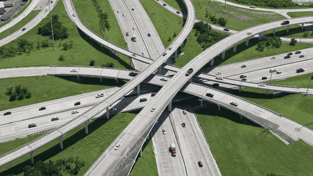
4. Civil 3D Road Intersection Design
Intersections are more than just surface blends — they demand precise control of grading, turning radii, and sight visibility.
Civil 3D automates much of this by:
- Applying Intersection Wizard for baseline creation.
- Managing curb returns and daylight lines.
- Generating dynamic surfaces reflecting all vertical transitions.
Across India’s busy and often complicated road networks, Civil 3D intersection design plays a key role in creating smooth, well-connected junctions that keep traffic moving safely and efficiently.
How to Identify High-Quality Civil 3D Course
Before enrolling, ensure the program emphasizes:
- Live datasets from Hyderabad infrastructure models.
- Corridor assemblies compliant with Indian Roads Congress (IRC).
- Extensive use of Civil 3D pipe networks design and grading tools.
- Profile views with annotation for road longitudinal sections.
While searching, you may come across institutions also offering supplementary expertise like Best Primavera Training Institute in Hyderabad or best V-Ray training institutes in Hyderabad — helpful for interdisciplinary AEC workflows.
Career Impact: Real-World Roles Using Civil 3D Training in Hyderabad
Professionals completing autodesk civil 3d software often move into roles such as:
- Transportation Modeler for highway contractors.
- Urban Drainage Designer in smart city planning firms.
- CAD BIM Specialist for rail corridor consultants.
- Site Civil Engineer working on SEZ (Special Economic Zone) grading.
Recruiters often look for proficiency in:
- Civil 3D surface creation and corridor targeting.
- Pipe network data extraction and clash detection.
- Feature line grading with conditional subassemblies.
- Intersection point control and parameterized design.
Civil 3D and the Hyderabad Infrastructure Boom
With projects like the Hyderabad Pharma City, new expressways, and metro line expansions underway, demand for Civil 3D proficiency is at an all-time high. Real estate developers also require site grading models aligned to hydrological conditions and land-use zoning.
Your expertise in Civil 3D road design, utility planning, and surface modeling can directly contribute to these large-scale public and private initiatives.
Summary: What You'll Gain from Civil 3D Course
To wrap it up, here’s a quick summary of how you benefit:
- Civil 3D road/corridor design for Hyderabad’s transport planning.
- Civil 3D grading tools to handle elevation-sensitive developments.
- Civil 3D pipe network design for smart stormwater and sewer layouts.
- Real-world datasets and terrain inputs from Hyderabad zones.
- Preparedness for career roles in road authorities, consultancies, and EPC firms.
Civil 3D isn’t just a software — it’s the core of modern civil engineering modeling, especially in fast-developing regions like Hyderabad.
Final Thoughts
Hyderabad is not just an IT and pharma hub — it’s a growing nexus of infrastructure innovation. Investing in Civil 3D training in Hyderabad connects you with current and future civil engineering demands, positioning you as a valuable contributor to the city’s expansion.
Whether you’re improving corridor models or managing pipe interference checks, this training anchors your technical abilities in real-world applications that matter.
Frequently Asked Questions
Civil 3D manages large datasets through structured object relationships and reference-based workflows. By using data shortcuts, external references, and controlled surface definitions, teams can work on complex projects without loading unnecessary data, maintaining both accuracy and performance.
Data shortcuts allow multiple teams to work on shared design elements such as alignments, surfaces, and profiles without duplicating data. This approach reduces conflicts, ensures consistency across drawings, and supports parallel design workflows commonly used in large infrastructure projects.
Optimized corridor modeling relies on clean assembly logic, region-based controls, and feature line management. When corridors are structured correctly, design changes—such as alignment shifts or profile updates—can be implemented without rebuilding the entire model, saving significant project time.
Surface accuracy depends not just on input data, but on the order and priority of surface definitions. Understanding how breaklines, boundaries, and supplementary data interact helps prevent surface distortions and ensures reliable volume calculations and design decisions.
Civil 3D generates quantities directly from model geometry, reducing dependency on manual calculations. Advanced users leverage material definitions, sample lines, and volume surfaces to produce consistent, auditable quantity reports that align with project estimation requirements.
Effective standardization involves using controlled templates, shared style libraries, and strict naming conventions. Advanced teams also implement regular audits to ensure styles and labels remain consistent, preventing downstream issues during submission or construction phases.
Civil 3D seamlessly incorporates survey data through point groups, description keys, and survey databases. When managed correctly, this data remains dynamic, allowing updated field information to reflect directly in design models without manual rework.
Even experienced users often overlook model cleanliness—such as unmanaged styles, excessive surface data, or unstructured corridors. These issues may not appear immediately but can cause performance degradation and errors during later project stages.
Civil 3D’s object-based design allows projects to be revisited months or years later without rebuilding models from scratch. Properly structured data ensures that updates—such as design changes or extensions—can be implemented efficiently.
Tools can be learned quickly, but workflow understanding determines efficiency and accuracy. Advanced Civil 3D users think in terms of design logic, dependencies, and outcomes, allowing them to work confidently on complex, evolving projects.
Yes. At CAD Center Hyderabad, our advanced Civil 3D course is designed for professionals who already know the basics and want to work at a real project level. The training focuses on advanced surface management, data shortcuts for multi-user workflows, refined corridor modeling, accurate quantity extraction, and industry-standard drawing production. Instead of teaching tools in isolation, we train learners to think in terms of complete design workflows used in live infrastructure projects.