Best GIS CAD Training Institute in Hyderabad: Professional Diploma Course That Shape Your Career
Are you looking for a career in geospatial technology? Want to become an expert in GIS CAD tools? Enroll in our GIS CAD training institute in Hyderabad can be your stepping stone to a promising future. With the rising demand for skilled GIS professionals across industries, obtaining a professional diploma course is more important than ever.
We will explore why GIS–CAD skills matter, the benefits of pursuing a diploma course, and how CAD Center Hyderabad can launch your career in this thriving domain.
Why Choose a GIS CAD Diploma Course?
The fields of GIS (Geographic Information System) and CAD (Computer-Aided Design) are rapidly expanding, especially in sectors like urban planning, architecture, civil engineering, telecom, and environmental science. These technologies allow professionals to design, analyze, and visualize spatial data.
By enrolling in our CAD Center Hyderabad, students gain hands-on expertise in mapping, surveying, spatial analysis, and data visualization. These practical skills are directly applicable in real-world jobs and project environments.
When you choose our professional GIS CAD training institute in Hyderabad, you get structured learning, expert mentorship, and access to industry tools like ArcGIS, QGIS, AutoCAD, and more.
GIS CAD Training Program at CAD Center Hyderabad
GIS CAD blends the power of Geographic Information Systems (GIS) with CAD for mapping, data analysis, and 3D spatial modeling. These program focus on integrating spatial data with CAD workflows to enhance productivity, asset management, and visualization capabilities.
Diploma Courses
Purpose: Learn to capture, manage, analyze, and display geographic data using CAD-integrated GIS tools.
Ideal For: Civil engineers, surveyors, mapping professionals, and communication specialists.
Prerequisites: Basic engineering knowledge, familiarity with computers, and comfort with Windows OS.
Key Software:
- → AutoCAD Level 1 (2D drafting and fundamental 3D modeling)
- → AutoCAD Map 3D (GIS integration within CAD environment)
- → AutoCAD Raster Design (managing raster-to-vector workflows)
Outcome: Master geodatabase workflows, convert GIS and CAD data effectively, generate 3D visual maps, and export raster imagery from map data.
Certifications:
- → Autodesk Course Completion Certificate
- → Autodesk Online Examination Certificate
Professional Diploma Courses
Purpose: Expand your GIS-CAD skill set with project review and model coordination tools.
Ideal For: The same audience as the diploma—students or professionals involved with spatial data and mapping.
Prerequisites: Basic Windows and computer proficiency.
Key Software:
All tools from the Diploma, plus:
- → Product Data Management (PDM) tools
- → Navisworks (for holistic project and model reviews)
Outcome: Enhance your ability to consolidate and review CAD and GIS projects jointly, improving cross-functional communication and project accuracy.
Certifications:
- → Autodesk Course Completion Certificate
- → Autodesk Online Examination Certificate
At-a-Glance Comparison
Program | Focus | Tools Included | Certifications |
Diploma – GIS Design | GIS workflows using CAD and raster data | AutoCAD Level 1 · Map 3D · Raster Design | Autodesk Certificates |
Professional Diploma | GIS-CAD integration + project review tools | Includes above + PDM · Navisworks | Autodesk Certificates |
Career Opportunities After Completing GIS CAD Diploma Courses
After completing a GIS CAD diploma Course from CAD Center Hyderabad, numerous career paths open up. Some of the popular job roles include:
- GIS Analyst
- CAD Technician
- Urban Planner
- Remote Sensing Specialist
- Civil CAD Designer
- Surveying & Mapping Technician
- Infrastructure Planner
- Environmental GIS Specialist
These roles exist across both private and public sector organizations. Government departments, construction firms, smart city projects, telecom companies, and utility providers all seek trained GIS CAD professionals.
Salaries and Growth Potential in the GIS CAD Field
The salary for freshers with a GIS CAD diploma ranges from ₹2.5 LPA to ₹4 LPA, depending on the specialization and location. With 2–5 years of experience, professionals can earn between ₹6 LPA and ₹10 LPA or more, especially in cities like Hyderabad, Bengaluru, and Pune.
Choose the CAD Center Hyderabad ensures that you start your career strong and continue growing with the industry.
GIS CAD the Right Career Path for You?
If you’re passionate about maps, design, data analysis, and technology, then a career in GIS CAD can be extremely fulfilling. It’s a future-ready domain with applications across numerous industries.
By selecting Our trusted GIS CAD training institute in Hyderabad, CAD Center Hyderabad you ensure not only quality education but also a gateway to job opportunities in India and abroad.
Whether you’re a student, civil engineer, architect, or working professional looking to upskill, enrolling in a professional GIS CAD diploma course can change the trajectory of your career.
Conclusion
Choosing to enroll in a professional diploma course from a leading GIS CAD training institute in Hyderabad is a smart investment in your future. As industries increasingly rely on geospatial data and design solutions, the demand for skilled GIS CAD professionals continues to grow. CAD Center Hyderabad is the right training institute, certification, and practical exposure, you’ll be well-prepared to launch a rewarding and future-proof career in spatial technologies.
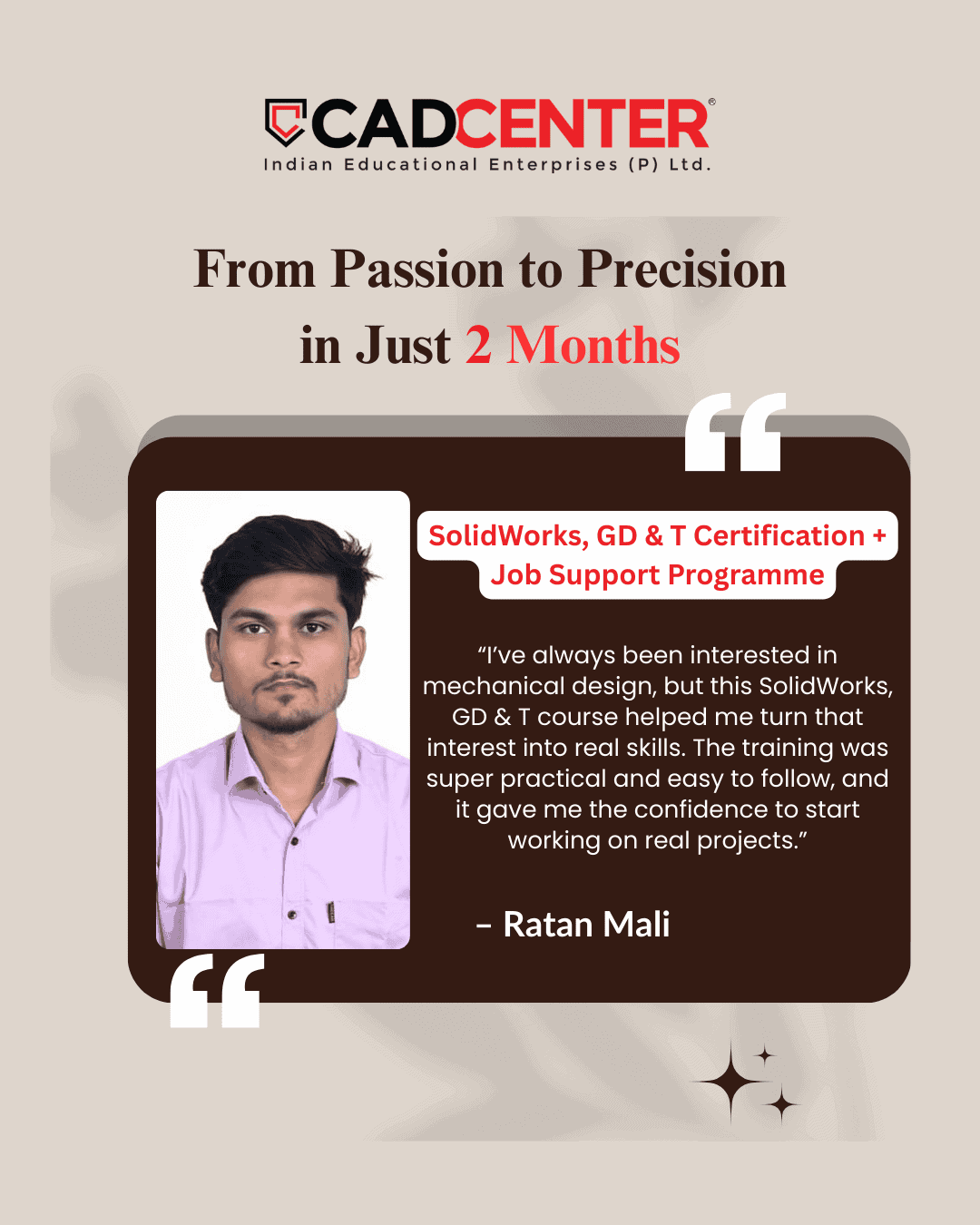
What Our Clients Say


Frequently Asked Questions
Yes. GIS is widely used in environment, agriculture, telecom, logistics, disaster management, and public policy.
It is a cross-industry skill, not limited to civil backgrounds.
Basic CAD drafting does not require field exposure, but understanding real construction practices improves accuracy.
Field knowledge makes your drawings more practical and job-ready.
Yes, GIS can be learned online if the course includes real datasets and project work.
Hands-on practice matters more than classroom location.
No. CAD also involves standards, layers, annotations, and coordination with other teams.
Good CAD users understand design intent, not just commands.
Only basic math and logic are used in GIS.
It focuses more on data interpretation than complex calculations.
Yes. CAD is skill-based and does not require an engineering degree.
Many successful CAD professionals come from non-technical backgrounds.
Yes. GIS demand grows with smart cities, climate planning, and infrastructure development.
It evolves with technology rather than becoming outdated.
With regular practice, basic CAD job readiness can be achieved in 2–3 months.
Advanced roles require project exposure and discipline knowledge.
No. Most GIS tasks run smoothly on mid-range systems.
System optimization and workflow matter more than expensive hardware.
Yes, but they usually need cleaning and georeferencing first.
This process converts drawings into real-world spatial data.
GIS is concept-driven. Software is just a tool.
Understanding spatial thinking is more important than tool commands.
Yes. CAD skills are useful in public works, urban bodies, and planning departments.
They support design, documentation, and execution tasks.
Yes. Most GIS work is tool-based.
Coding is optional and only needed for advanced automation.
Growth depends on specialization.
Pure drafting has limits, but domain-specific CAD roles grow steadily.
If your goal is planning or analysis, start with GIS.
If your goal is design or drafting, start with CAD.